Digital Editions
-
Calls to widen deluge support
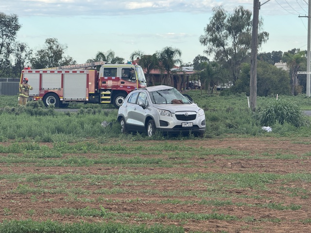
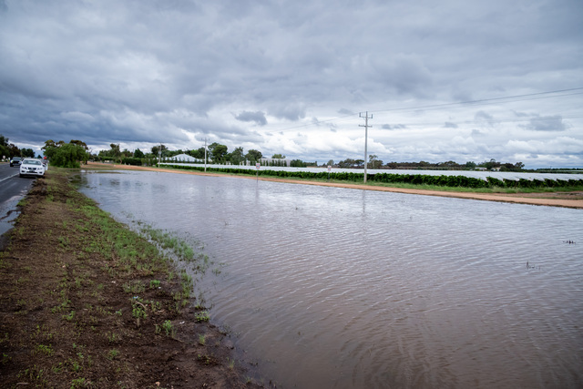
THERE are calls for the Victorian Government to widen its support for farmers and agri-businesses impacted by the March 2026 rain event across the Mallee.…
THERE are calls for the Victorian Government to widen its support for farmers and agri-businesses impacted by the March 2026 rain event across the Mallee.…

WENTWORTH’S annual Catch a Carp day is set to bring the community together for a weekend of fun, and pest removal. Local anglers have been attending the Wentworth Community Day…

THERE are hopes that a worker accommodation project delivering much-needed homes in Robinvale will be ongoing. Swan Hill Rural City Council last week paved the way for the construction of…

NOW that the summer basketball season has ended, Mildura's next Ben Simmons and Lauren Jacksons might want to try miniball to keep their skills up over winter. The Irymple Basketball…

ACCORDING to Dan Willersdorf, a tinny is far better (and cheaper!) than a speedboat to see the sights of the Murray River between Mildura and Mannum in this years Tinny…

FOR the first time in more than 13 years, public school staff in Victoria will walk off the job as part of protected industrial action for 24 hours over what…

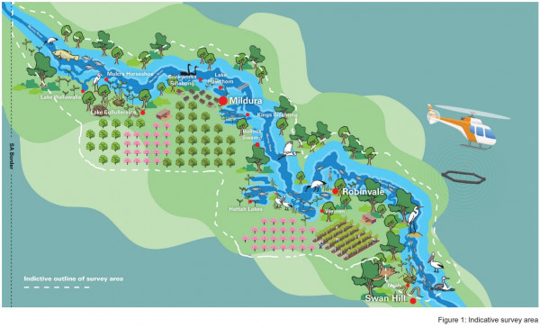
MOSQUITO numbers across the Mallee have risen in the last fortnight with recent heavy rainfall creating ideal breeding conditions. Municipal mosquito surveillance data has indicated an almost five-fold increase in…
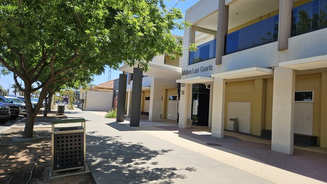
A MAN who accelerated a stolen car he was driving towards a police officer who was trying to apprehend him was at risk of institutionalisation, a court has been told.…
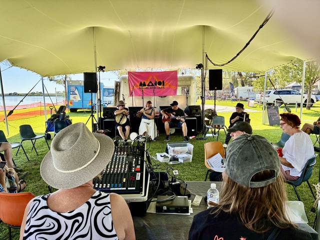
THE shores of Lake Cullulleraine provided a perfect backdrop to the good vibes of the Cullulleraine Music Festival on the weekend. Party people got to sit back, chill out, boogie,…

THE member for Mallee, Anne Webster, has welcomed a new role within the Federal Coalition Opposition after recently being named both shadow minister for regional health, and regional communications. This…

A TEENAGER displayed “an unbelievably over the top reaction” when she sent dozens of threatening messages to another female, turned up at the victim’s house armed with a metal bar…