Digital Editions
-
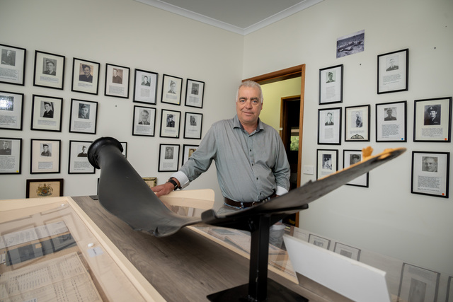
RAAF Museum puts big move into motion
THE Mildura RAAF Museum is making a big move this weekend to a new custom-built hangar space. The decision to relocate the museum, which contains…
THE Mildura RAAF Museum is making a big move this weekend to a new custom-built hangar space. The decision to relocate the museum, which contains…
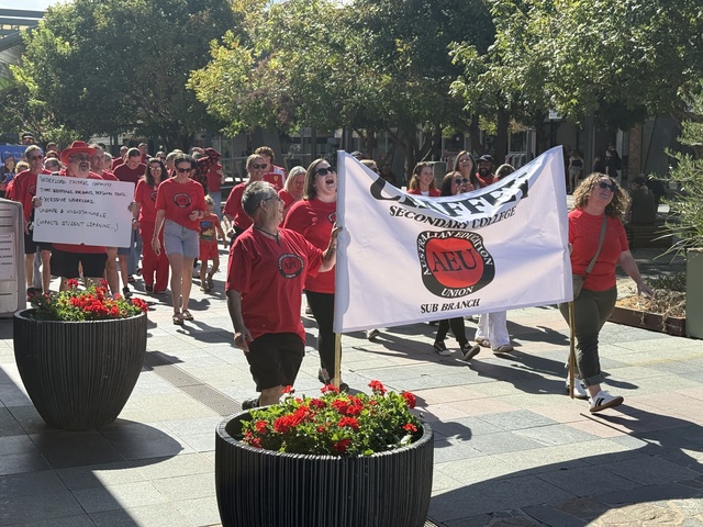
VICTORIAN teachers have signalled an escalation in stop work action following a vote from the state branch of the Australian Education Union. A conference from the AEU Victoria branch was…
Fascinated by the lives of others? Your local library has a wide range of biographies, from celebrity memoirs and sports personalities, to travel adventures and curious jobs. Check out some…
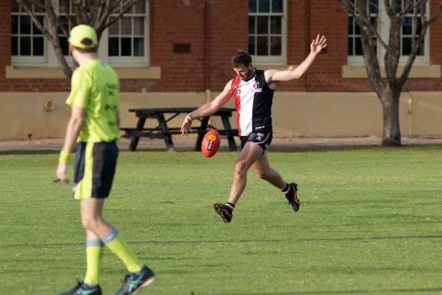
LAST year’s MFNL grand finalists get the chance to dance again when they meet at Lake Cullulleraine today. Werrimull comfortably accounted for Bambill in the season’s finale by 28 points…
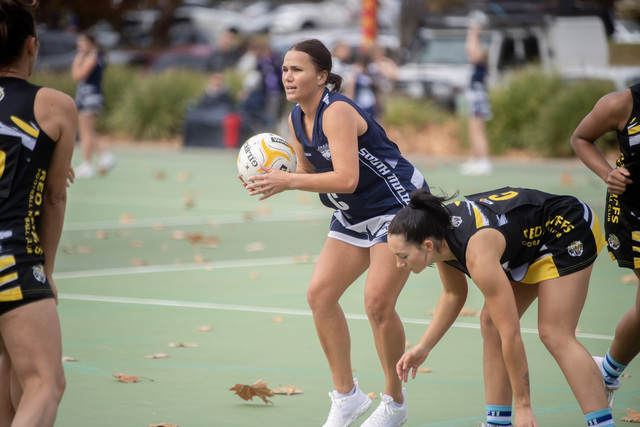
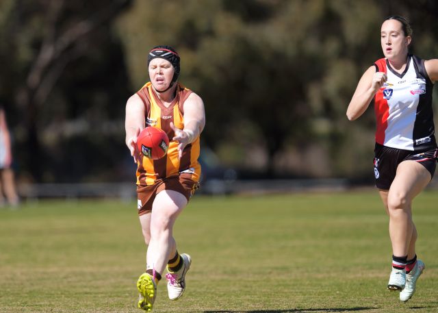
THE Red Cliffs A Grade netball team hit peak form during the 2025 Sunraysia Football Netball League season, and after falling just short of a grand final berth, they have…
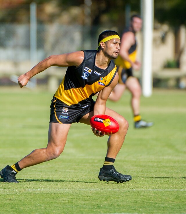
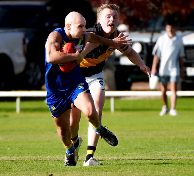
RED Cliffs versus first round winners South Mildura at Quondong Park today could be a real "scratch" match. The Tigers, who will showcase new coaching staff and players Jack Steel…
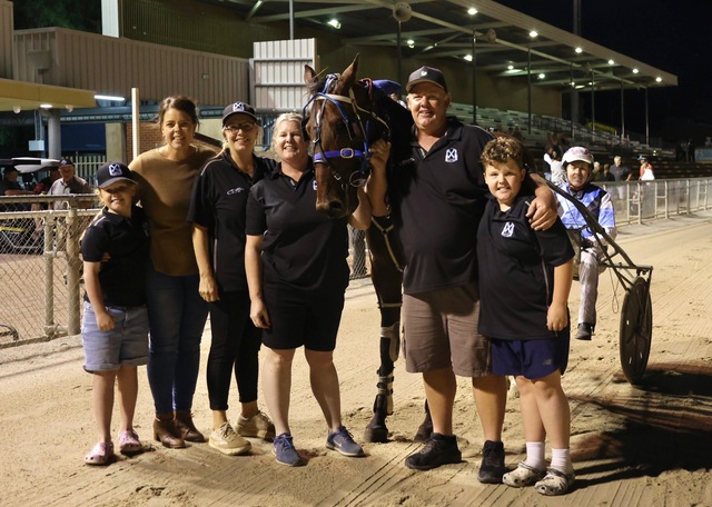
A remarkable comeback from a “near miss” less than a month ago has thrust local pacer My Ultimate Jimmy into the spotlight as a genuine hometown hope ahead of Saturday…

Victoria’s powerhouse harness racing team Emma Stewart and Clayton Tonkin look to hold the aces heading into this week’s CA Fitness Mildura Pacing Cup series. Two heats on Tuesday night…
IF you can’t beat ’em, recruit ’em. In perhaps the transfer swoop of the MFNL off-season, across all competitions, women’s league runners-up Bambill clinched the services of Gol Gol’s premiership…
CARDROSS looked for all intents and purposes premiers elect in 2025. They stormed through the regular season undefeated, and the flag looked a fait accompli, but then the table toppers…
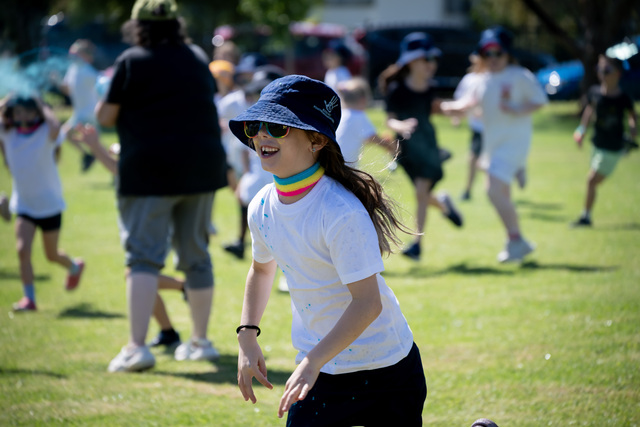
STUDENTS at Mildura West Primary School will no longer need to put ice in their water bottles to combat the heat, thanks to Thursday's colour fun run which raised more…