Digital Editions
-
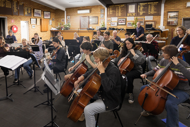
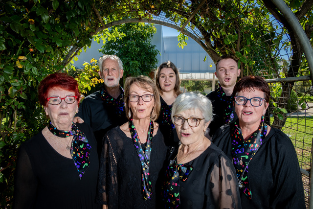
Strings’ show is out of this world
WHAT do E.T. and the Mildura District Orchestra have in common? Band members will perform Earth and Beyond at Mildura Arts Centre on Saturday, 9…
WHAT do E.T. and the Mildura District Orchestra have in common? Band members will perform Earth and Beyond at Mildura Arts Centre on Saturday, 9…
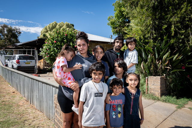
A MILDURA family is on the road to recovery after their Hector Street home was destroyed in a fire believed to have been caused by an electrical fault. The blaze…
PRESENTED by Mildura and District Historical Society and compiled by Judy Hyde for Mildura Rural City Council Libraries. 100 YEARS AGO CURRANTS: Currants have this year been a good crop,…
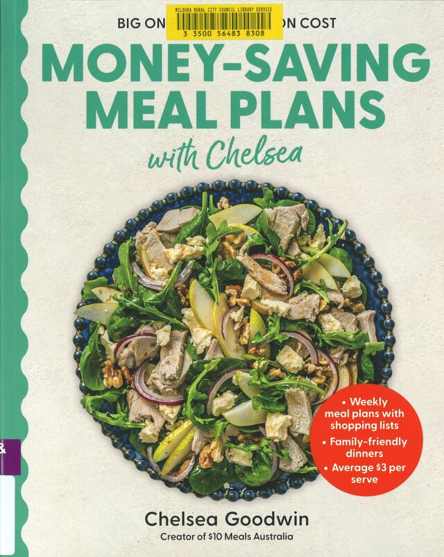
FROM kitchen gardens to comfort baking and budget-smart dinners, these four practical guides each offer down‑to‑earth inspiration for cultivating a healthier, happier and more sustainable everyday life. Leaves, Roots &…
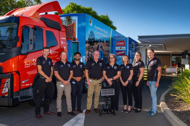
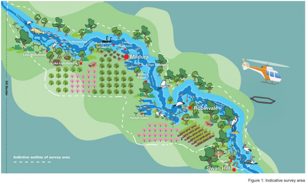
ACCESS to healthcare is getting a major boost across the Mildura region, with a $3.5 million multipurpose screening truck to bring vital health checks directly to local communities and remove…

THE Sunraysia Farmers and Makers Market will take on a health focus this Saturday, with a fully equipped multipurpose screening truck set to be on display at Jaycee Park as…

LOCAL businesses, including Chemist Warehouse Mildura and Sunbeam Foods, have given strong support to the Mildura Base Public Hospital Foundation (MBPHF) multipurpose screening truck. The $3.5 million initiative, developed by…
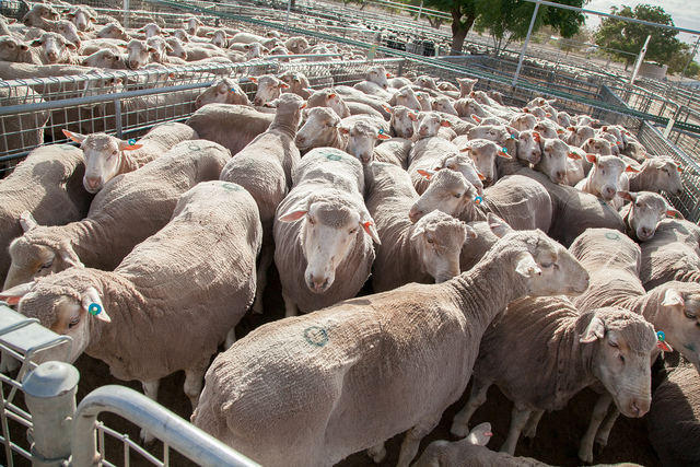
FARMERS are being cautioned to keep stock animals away from burn piles as the state continues to lift fire restrictions. Officers from Agriculture Victoria are encouraging livestock producers to view…
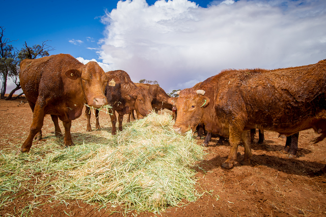
A SENIOR veterinary officer is encouraging Victorian Farmers to monitor animals for early detection of exotic diseases. In a recent statement, Agriculture Victoria senior veterinary officer Jeff Cave highlighted the…
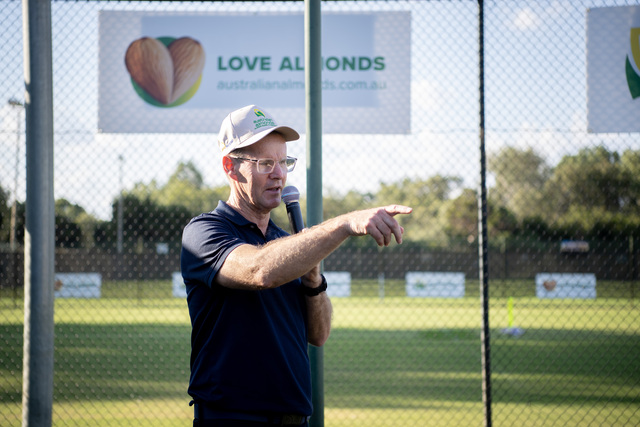
ALMOND sales have exceeded expectations for the past financial year after a rise in sales for the end of the season. The almond season officially wrapped up in February with…

A WOMAN who threatened to assault her former partner and his mother has been given a good behaviour bond. The Mildura Magistrates’ Court heard the woman and the victim had…